
Finding a Petaluma Street Record
A street question should begin with the physical address, not with a claim about who lives there. A situs address is the location tied to a parcel or permit. Use it to find the APN, then use the APN and legal description to keep records attached to the correct lot. If the mailing city is Petaluma but the parcel lies outside city limits, the county permit office may be the right custodian.
The Petaluma street directory workflow below layers sources in a practical order. It can reveal ownership history, nearby parcel geometry, public project roles, and dated directory entries. It cannot turn a parcel map into a list of every person present.
- Enter the full street address in the Sonoma Property Hub and capture the parcel polygon, APN, and situs information.
- Walk the same street in the GIS viewer and record the APNs of parcels that touch or face the target parcel.
- Check whether the parcel is incorporated Petaluma or county territory before choosing City Building or Permit Sonoma.
- Search the recorder by the current assessee or deed party, then follow the dated instrument and legal description.
- For earlier occupants, use the library's street-order or reverse directory pages, Sanborn sheets, newspapers, and census schedules.
Sonoma Property Hub Fields for Petaluma Addresses
The public Sonoma parcel service is best understood as a map and parcel-key system. It exposes geometry, APN, OBJECTID, and an assessment identifier. The county warns that Owner Name may be absent from the Internet layer because of California public-record privacy conditions. That limitation is not a dead end. CRA lists 707-565-1888 as the fallback for additional property-characteristic versions, availability, and fees.
| Address or place search | Map search or geocoder text; use the situs to navigate to the parcel. |
|---|---|
| APN query | Parcel attribute or query; preserve the county identifier for later requests. |
| Map zoom and pan | Browse a street or block until parcel edges and labels are legible. |
| Parcel identify | Map click; opens public attributes allowed for the selected polygon. |
| Owner Name | Not reliably published in the public Internet layer; do not promise a web owner search. |
| Office request | Phone, counter, or parcel-list request for lawfully available fuller fields. |
The documented parcel-list extract can include APN, use code, assessee, mailing address, and situs address, with property characteristics available separately. It is a current, request-based view. It does not identify every adjacent parcel for the requester, provide an age, or prove that an assessee occupies the situs.
When a map result is too thin, describe the request around the parcel rather than around a person. Include the street address, APN if known, the years needed, and the exact fields sought. The county's parcel-list request information helps frame the inquiry, but CRA should confirm current availability and any charge before the request is sent. Preserve the response date and the distinction between a released assessee field and an inferred occupant.
Petaluma Records by Address
The street directory is most useful when each source is assigned a narrow question. The assessor connects an address to a parcel. GIS establishes spatial order. The recorder tracks dated conveyances. Permits show work and project participants. Directories show a listed person or business for an edition. Voter information has stricter access rules and is not a general street browser.
| Record Set | Keeper | What It Shows | Access |
|---|---|---|---|
| Parcel and assessment information | Sonoma CRA | APN, situs, assessee, mailing, use or characteristics when released | Map, office, or request |
| Parcel geometry | Sonoma County GIS | Lot shape, APN, and surrounding parcels | Free monthly map; not survey grade |
| Deeds and liens | Sonoma Recorder | Party roles, recording dates, document citations, legal descriptions | 1964-present web index; copies separate |
| City permits | Petaluma Building Division | Work, dates, applicant, contractor, and inspections when present | City hub, counter, or request |
| County permits | Permit Sonoma | Address, ZIP, APN, record type, dates, and project fields | Accela search for county territory |
| Historical directories | Sonoma County Library | Listed occupants, businesses, addresses, and occupations by edition | Digital scans or History Room |
A street name joins these sources only after the APN and jurisdiction are checked. Keep the original record date and role beside every name rather than flattening all results into a single roster.
Walking a Petaluma Block in GIS
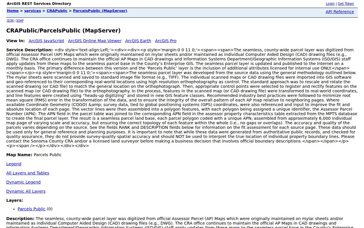
The Sonoma public parcel map service lets a researcher click a target polygon and then inspect edge-sharing and directly opposite parcels. Zoom until APN labels are readable. Record each APN, then crosswalk it to CRA or a documented parcel extract. The map supplies adjacency that the assessor does not promise to identify as a group.
County GIS was built from official assessor parcel maps once kept on mylar and CAD. About 6,000 source map pages underlie the seamless layer, which is published monthly. The service is general-reference information, not a survey. A boundary or label should be checked against a recorded map when a lot line or subdivision detail matters.
The parcel map image illustrates spatial order, not the names of every person nearby. Use the APN as the bridge to a separate office record.
Petaluma ZIPs Do Not Set City Limits
ZIP 94952 reaches west and downtown Petaluma and broad rural postal territory. ZIP 94954 serves east Petaluma and some land beyond the incorporated line. ZIP 94953 is for post-office boxes. ZIP 94955 is a unique ZIP, while 94999 is North Bay processing at 1150 North McDowell Boulevard. None of those codes is a parcel boundary.
Resolve the physical situs with the parcel map, City Planning Areas, the sphere of influence, and annexation layers. A `PETALUMA` postal label can route permit research to Permit Sonoma when the property is unincorporated. That is why a ZIP-based street directory result needs an APN and a jurisdiction check before it is assigned to a city office.
Note: Postal city, situs address, mailing address, and municipal jurisdiction can describe the same property in different ways.
Petaluma Permits and Code History
Petaluma's Building Division handles permits, inspections, and planning-hub assistance. The published contact is 707-778-4301; the public counter is listed as open 9 to 4 Monday through Thursday and closed Friday. Applications use the City's Permits & Planning Hub, with help by phone, email, virtual meeting, appointment, or counter. A permit applicant or contractor is a project role, not proof of residence.
For unincorporated county territory, Permit Sonoma's Accela search documents fields for department, record type or number, start and end date, project name, license type or number, business name, street number range and direction, street name and type, city, state, ZIP, and parcel number in the `xxx-xxx-xxx` format. Search can be narrowed by address, APN, date, and record type. City and county histories should not be blended.
The City Building Division says applications move through its Permits & Planning Hub and that staff can help by phone, email, virtual meeting, appointment, or counter. Its published next-day inspection cutoff is 2 p.m. For an older city permit that does not appear in the public hub, request archive retrieval by address and APN through the Building Division or a focused city records request. For a county permit, keep the Accela record number, date range, and parcel number with the request. A result can name an applicant or contractor while saying nothing about who occupied the structure.
Code and complaint files may contain address-keyed evidence, but complainant, investigative, juvenile, medical, and other protected material may be withheld. Request the existing record series with a bounded date range instead of asking an office to create a list of people.
Deed Chains Along Petaluma Streets
Sonoma's online official-records index reaches from 1964 to the present. Search the current assessee as a grantee, locate the acquisition instrument, and compare its legal description and APN with the parcel. Then search the seller as a grantee to move backward. Search spouses, trusts, estates, initials, and spelling variants separately because a street address is not the Recorder's primary index key.
At the 1964 line, move to older grantor and grantee books and the 1847-1963 media held through the counter. The index catalog may show a party name, role, document type, recording date, document number, and sometimes book and page. An image or certified copy is a separate step, and the county asks for the document number when staff produces a copy.
- Grantor and grantee
- The grantor transfers an interest; the grantee receives it. Search both roles when following title.
- Legal description
- The lot, block, subdivision, or metes-and-bounds language that identifies the land beyond a changing street label.
- Plat
- A recorded map that lays out lots, blocks, streets, or subdivision boundaries.
- Criss-cross directory
- An address-ordered directory that can show a listed occupant without claiming title ownership.
The deed chain answers ownership transfer questions. It does not establish who slept at the address, who received mail, or whether every household member appears.
Reverse Directories and Listed Occupants
Sonoma County Library's digitized collection runs from the 1870s into the early 1950s. Petaluma examples include Polk-Husted 1909-1910, the Press Democrat's 1924 directory, Pacific Telephone and Telegraph volumes from 1921 through the 1930s, and the 1954-1955 Petaluma, Cotati and Penngrove A-to-Z directory. Some volumes offer street or householder order; others need an alphabetical search followed by page inspection.
A typical entry can contain a surname, given name or initials, spouse or widow notation, occupation or trade, employer, and residence. `r` can mean resides, `h` house, `bds` boards, and `wid` widow in the inspected Polk-Husted material, but the volume's own abbreviation key controls. Record the printed year and page. A missed entry can reflect a move, an unlisted line, rural routing, a spelling issue, OCR trouble, or a gap in the run.
The full collection and reading method are on the Petaluma directory book page. Those volumes supply a historical address layer; current street records belong with parcel, deed, and permit sources.
Sanborn Maps for Street Continuity
Petaluma Sanborn holdings include 1883, 1885, 1888, 1894, 1906, 1907, 1910, a 1919 correction, 1923, a 1949 revision, and selected 1965 sheets. The set grows from 9 sheets in 1883 to 56 in the corrected-to-1919 edition. Sanborn pages show building footprints, materials, uses, lot position, and street labels. They usually do not name occupants.
Match a footprint, lot edge, nearby structure, and street sequence before deciding that an old address changed or disappeared. Pair the map with a directory page, a recorded parcel map, and a permit. A visual match can bridge a changed number, but it does not replace the legal description or establish a complete household.
Limits of the Petaluma Street Directory
A parcel layer can omit owner names. A deed can show a dated transfer. A directory can list one occupant for one edition. A permit can name an applicant, contractor, or architect. None is a complete list of people present. Unlisted household members, people whose records are protected, and people who do not appear in the relevant record series may be absent.
California voter data is not a public block browser. My Voter Status is for self-checking, and a qualified voter-file request is constrained by Elections Code section 2194. DMV data is restricted under the federal Driver's Privacy Protection Act. Utility and delivery customer records are not public address layers. When a record is confidential, honor the limit rather than seeking a workaround.
Lawful use. Petaluma address records support personal research, family history, property history, and civic understanding. Do not use a street directory to stalk, harass, threaten, or intimidate any person, and verify every lead with the custodian.