
Sources for Petaluma Previous Residents
A house history works when each source is assigned the period and fact it can support. Sonoma's web deed index begins in 1964, while older recorded material moves to counter books and media. The library's directory guide reports physical directories from 1877 to the present, but the digital collection has verified runs rather than a gap-free year-by-year set.
| Source | Years It Covers | Where Held | What It Shows |
|---|---|---|---|
| Recorder official-records index | 1964-present online; 1847-1963 older media identified | Sonoma Recorder and counter | Grantors, grantees, dates, instruments, legal descriptions |
| Assessment rolls | Petaluma 1867-1948 reported in the house-history guide | Library and county historical material | Taxpayer or assessee, parcel and value context |
| City and telephone directories | 1877-present physical guide; digital examples 1909-10 through 1954-55 | Sonoma Library and Petaluma History Room | Listed occupants, businesses, addresses, and clues |
| Federal census | 1850-1950 released schedules | NARA and library databases | Enumerated households, with address detail varying |
| Sanborn fire-insurance maps | 1883, 1885, 1888, 1894, 1906, 1907, 1910/1919, 1923, 1949, selected 1965 | Sonoma County Library | Footprints, materials, use, lots, and street continuity |
| Permits and local history | Collection-specific | Petaluma Building and History Room | Work events, project roles, photographs, maps, and clippings |
The sources overlap but do not duplicate one another. A deed can show a transfer, a directory a listed household, and a map a structure. Previous residents become visible in the overlap.
Start With the Petaluma APN
Begin at the physical situs. Use Sonoma Property Hub or the public parcel service to identify the polygon and APN, then save the legal description and nearby lot context. The county warns that Owner Name may be omitted from the Internet layer, so a map search should not be advertised as a complete current-owner lookup. CRA lists 707-565-1888 for fuller property-characteristic availability and request guidance.
Check whether the current parcel has split or merged. A new APN can make an old address look absent even when the land trail continues. Recorded final maps, subdivision maps, Petaluma's Map Library, and annexation layers can connect the former geometry to the current parcel.
The starting parcel is a research anchor, not a conclusion about who lived there. Preserve the APN, situs, mailing address, and legal description as different fields.
Petaluma's 1964 Online Divide
Sonoma County's modern official-records web index covers 1964 to the present. It is a grantor-grantee and document-metadata catalog. Search the current assessee or owner party as a grantee, note the acquisition document, and verify its APN and legal description in the image or copy. Search the seller as a grantee to move to the prior transfer.
At 1964, switch methods. Sonoma identifies 1847-1963 documents in digitized microfilm, microfilm, and paper, but it does not establish that the whole run is remotely searchable from the public web. Older handwritten grantor and grantee books and counter access are part of the chain. The Historical Records Commission inventory spans 1834-1986, so the archive is worth routing even when the web index ends.
Search spouses, trusts, estates, initials, and spelling variants. A street address is not the recorder's primary index key, and a deed of trust is financing evidence, not necessarily a conveyance of title.
Tracing Petaluma Past Owners Through Sonoma Deeds
A chain of title is the sequence of recorded interests that links one owner to an earlier owner. Use the current parcel as the fixed point, then let the party roles reverse as the search moves backward.
- Capture the current APN, situs, lot or block, and legal description from the parcel and assessment channels.
- Search the current grantee in the 1964-present index and identify the likely acquisition deed by date and document type.
- Order or inspect the instrument to confirm the APN, legal description, parties, and recording citation.
- Search the seller as an earlier grantee, then repeat the party-role reversal through each prior transfer.
- At the online cutoff, move to older books or media and record the source location rather than implying a web result.
- Grantor
- The party transferring an interest in the recorded instrument.
- Grantee
- The party receiving an interest. Searching a prior seller as grantee often moves the chain backward.
- Chain of title
- The linked sequence of recorded interests for the parcel.
- Legal description
- The recorded land identity that can survive a street-number or street-name change.
The county index is not the deed itself. Document images, certified copies, older citations, and exact fees belong with the Recorder counter or request channel.
Petaluma Assessment Rolls, 1867-1948
The Sonoma County house-history guide reports Petaluma assessment rolls from 1867 through 1948. These rolls can help connect a taxpayer or assessee to a parcel and assessed value at a particular year. They are valuable bridges when a deed index or directory skips an interval, but an assessment name is not automatically the household that occupied the structure.
Pair the roll year with the legal description, lot or block, deed chain, and a directory or census household. Mailing information can differ from the physical situs. Note whether the roll describes land, improvements, or another tax field before summarizing what the name means.
Petaluma Directory Years Show Listed Households
Previous residents are often found through the library's directory shelf rather than through a title index. Verified Petaluma examples include Polk-Husted 1909-1910, Press Democrat 1924, Pacific Telephone and Telegraph volumes from 1921 through the 1930s, the 1922-1923 Farmers Directory, and the 1954-1955 Petaluma, Cotati and Penngrove A-to-Z volume. The digital collection reaches from the 1870s into the early 1950s, while physical holdings are described more broadly.
Search a surname and then inspect the page image. Record spouse or widow notation, occupation, residence, route, and page. Switch to street or householder order when available. A listed person is a dated occupant clue. It is not proof of title, complete occupancy, or continuous presence. The collection itself is described in the Petaluma directory book page.
Pairing a directory year with a census year works best as a controlled comparison:
- Choose the closest surviving directory edition and transcribe the printed name, address, spouse or widow note, and occupation.
- Open the matching census schedule and search the surname with the street, household members, occupation, and approximate age.
- Compare the household's names and address clues without treating a census enumeration as the same event as the directory listing.
- Use the next directory, assessment roll, newspaper, or probate endpoint to test a move, death, spelling change, or missing interval.
The Polk-Husted 1909-1910 scan is the source for the directory image below.
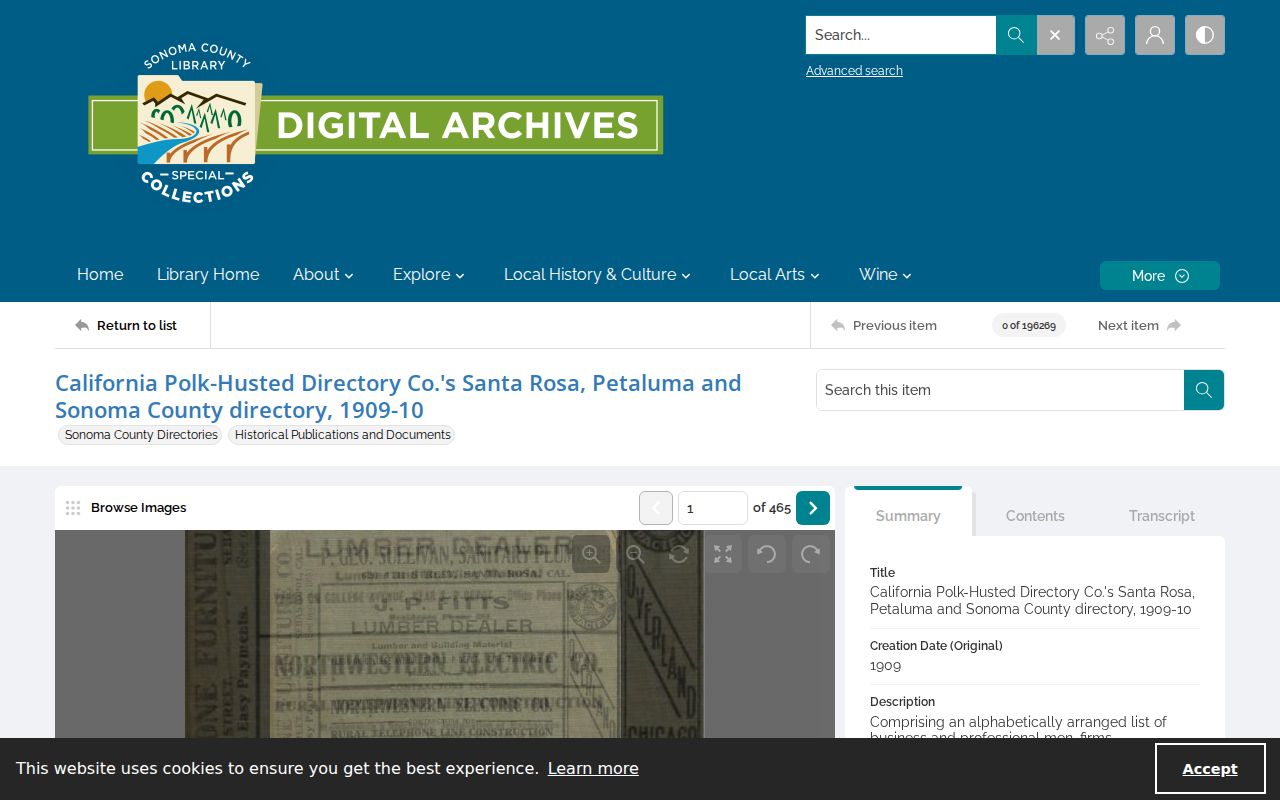
The scanned directory is most useful when its edition, page, and address are cited alongside the parcel and title evidence.
Petaluma Sanborn Maps Track Structures
Sanborn maps can show how a property and block changed between directory years. Petaluma's set includes 1883, 1885, 1888, 1894, 1906, 1907, 1910, a corrected-to-1919 edition, 1923, a 1949 revision, and selected 1965 sheets. The 1883 set has 9 sheets; the corrected-to-1919 edition has 56. That growth records the city's changing built fabric.
Match the street, lot position, footprint, neighboring structures, materials, and use. The library notes print and microfilm variants, and cardholders can use FIMo. Sanborn maps normally do not name occupants, so they work as a continuity tool between directory entries, permits, and recorded parcel maps.
The Sonoma County Library Sanborn guide is the source for the map image and its Petaluma year inventory.
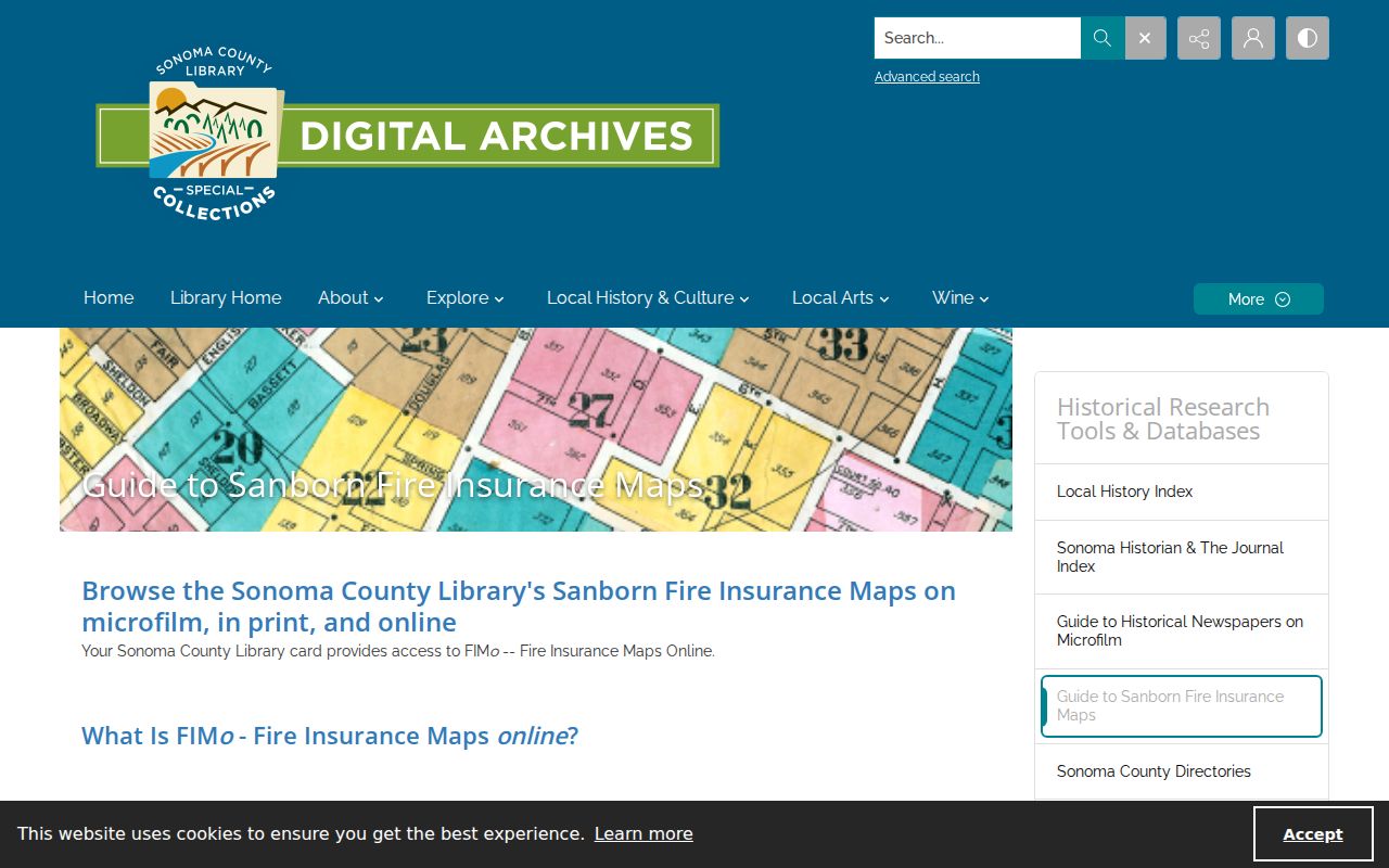
A footprint match can explain a changed displayed address. It cannot establish who occupied the building.
Petaluma History Room House-History Help
The Petaluma History Room at 100 Fairgrounds Drive offers house and property help, maps, photographs, clippings, manuscripts, municipal records, newspapers, and yearbooks. Its listed phone is 707-763-9801, extension 0722. Published hours are Thursday 10 to 5:30, Friday 10 to 4:30, and Saturday 10 to 1:30, with appointments available.
Give the librarian the address or APN, approximate construction period, known owner or occupant, and the sources already searched. The room's local collections, formed in part through Ed Mannion and Ed Fratini's work, can bridge formal county records and community memory. The California State Library genealogy resources and California State Archives provide additional historical routes when a local shelf record points beyond Petaluma. Ask for a bounded search and the proper citation for any manuscript, map, image, or shelf volume.
Petaluma Obituaries, Probate, and Cemetery Endpoints
When a previous resident died, the trail may end in an obituary, death index or informational copy, probate case, cemetery guide, or recorded estate document. Sonoma newspapers overlap from the Argus in the 1860s through the Argus-Courier into 2019, with digital and microfilm coverage that differs by title. Search a name with a street, spouse, firm, club, or neighborhood term and inspect the scan.
Probate can show a case number, petition, notices, representative, heirs, and a deed or affidavit of death. Sealed or confidential portions remain closed. Cemetery or church registers may add relationships from about 1850 onward, but no comprehensive city-operated online interment database was identified. Treat a notice as a dated clue and verify the event with the custodian.
Petaluma Maps Before You Assume a Move
An old address can vanish because of a street renumbering, a renamed road, annexation, a subdivision, a parcel split, or a directory's rural route convention. The research did not locate an authoritative Petaluma renumbering year or an official street-name crosswalk, so no fixed conversion should be invented.
Bridge the uncertainty with recorded final maps, Petaluma's Map Library and Annexations layers, Thomas Guides from 1953-2007, Sanborn footprints, directory neighbors, permits, and the parcel legal description. A stable lot position and adjacent structure can connect an old printed number to a current APN better than a name-only search.
Petaluma Former Households and Lawful Limits
Previous residents research is strongest when it stays a house-history or family-history project. Owners, taxpayers, listed occupants, permit applicants, and people mentioned in a newspaper are distinct roles. Unlisted household members, protected people, and records covered by confidentiality rules may never appear. A missing name is not a reason to search around a legal protection.
Use the original custodian for a correction, copy, or access question. The California Public Records Act concerns existing nonexempt records and does not require an office to build a list of people from separate systems. Keep personal notes private and cite only the dated facts the source supports.
Lawful use. Previous residents research in Petaluma is for house history, genealogy, and personal curiosity. Do not use an address trail to stalk, harass, threaten, or harm a living person.