
Petaluma Neighbors by Block: Source Paths
A block-level lookup for Petaluma neighbors is a stack of narrow sources. GIS answers which parcels touch or face the starting parcel. CRA may provide situs, mailing, assessee, or property characteristics through its available channels. The recorder supplies dated conveyance parties. Directories supply listed occupants for an edition. Voter information is restricted and is not an open block browser.
| Source | What It Shows About a Block | Access |
|---|---|---|
| Sonoma parcel GIS | Target parcel, APN, shape, and surrounding lots | Free monthly map; not survey grade |
| CRA property information | Situs, assessee, mailing, use, and available characteristics | Address, APN, counter, or request |
| Recorder index | Conveyance parties and dated instruments | 1964-present web index; copies separate |
| Planning and historic maps | Annexations, planning areas, districts, and subdivision context | City ArcGIS services and documents |
| Directories and Sanborn maps | Historical listed names and block form | Library scans or History Room |
| Voter records | Lawful self-verification or qualified file fields | No general public block browse |
The sources do not describe one population. An owner, an assessee, a mailing recipient, a listed occupant, and a person physically present can be different people. Keep each label attached to the record that supports it.
Mapping a Petaluma Block in GIS
The adjacent-parcel method begins with a known address. Open the Sonoma parcel service, zoom until parcel edges and APN labels are readable, click the target polygon, then click every edge-sharing and directly opposite parcel. Preserve each APN before looking for assessment or deed information. The REST layer supports a query-with-distance operation, although the selected viewer may not expose a button named Buffer.
- Find the target situs and capture its parcel geometry and APN.
- Walk the parcel edges and opposite frontage, recording each neighboring APN separately.
- Crosswalk each APN to CRA or a parcel-list request rather than assuming a map popup contains the owner.
- Use the recorder, permits, or historical directories only after the parcel and jurisdiction are fixed.
The county parcel layer was built from official assessor maps and is updated monthly. It is general-reference information, not a survey. A map can show a neighbor parcel without showing a person's name.
Petaluma Planning Areas and Districts
Petaluma's planning services supply civic geography that can explain why two nearby addresses fall into different record paths. City layers include the Urban Growth Boundary, sphere of influence, planning referral and specific-plan areas, annexations, historic districts, street classes, facilities, and six General Plan subareas. The Oakhill-Brewster Historic District includes Howard and Liberty blocks in the cited city guidelines. A district boundary is a planning or preservation fact, not a resident roster.
Central Petaluma and Corona-Ely appear as planning areas. A Street and historic commercial districts supply another layer. Downtown BID/PDA information is a public business and governance layer, not a list of residents. Use the city maps to orient the block, then return to APN, permit, deed, or library records for names and dates.
The Petaluma Map Library service is the source for the first civic-geography image below.
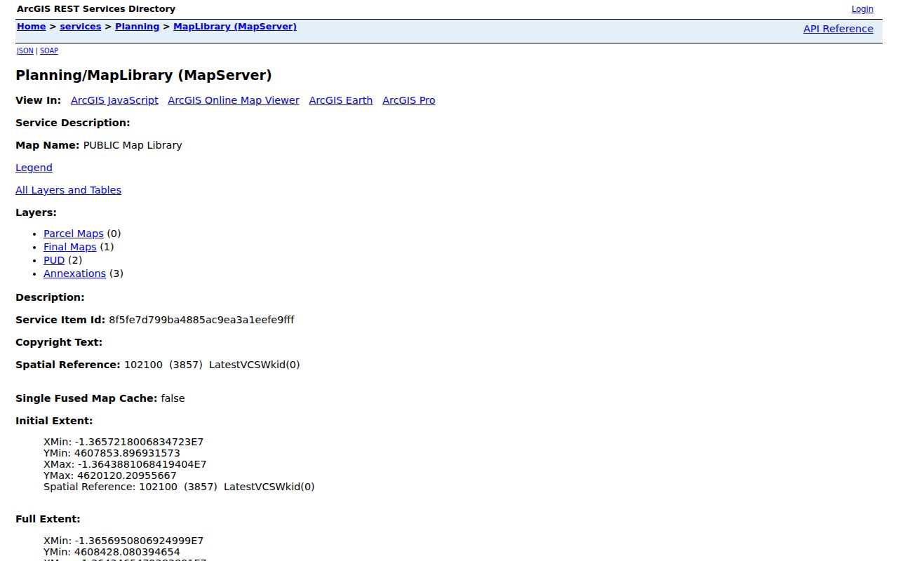
The Map Library supplies parcel maps, final maps, PUDs, and annexation context. It helps explain a block without naming every one of the neighbors.
The Petaluma Planning Areas service is the source for the civic-geography image below.
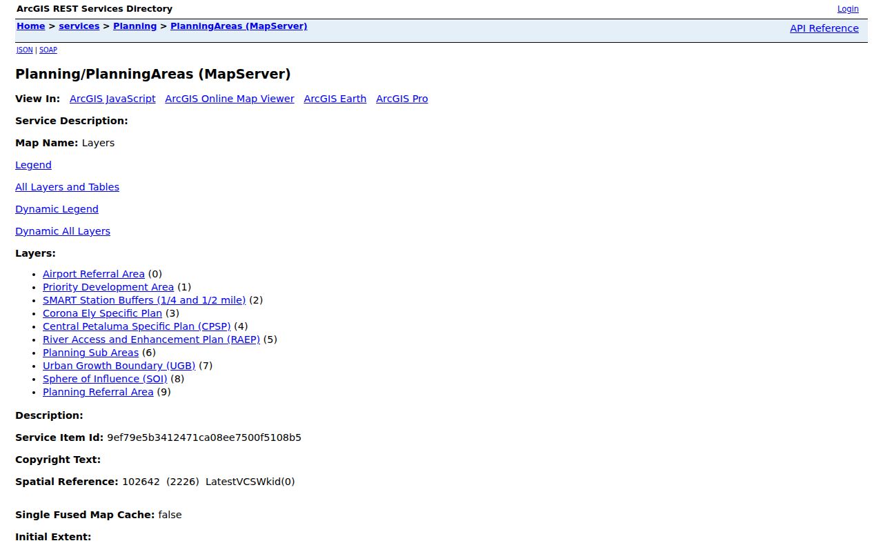
The planning map gives a civic frame for a block without turning a planning area into a membership directory.
Owner, Assessee, and Mailing Address
California privacy conditions mean the public Sonoma parcel layer may omit Owner Name. CRA's documented fuller extract can include APN, use code, assessee, mailing address, and situs address, with property characteristics available separately. Mailing is where tax correspondence goes. Situs is the physical taxable location. A match between them can support a limited inference, but it does not prove occupancy.
The recorder adds a dated title trail. A permit adds a project role. A directory adds a listed occupant for an edition. Keep those roles distinct when identifying Petaluma neighbors. A person who owns a parcel may not be at the site, and a person associated with an address may not own it.
Note: The assessor cannot provide an owner age or identify contiguous parcels as a complete group; GIS supplies the spatial starting point.
Petaluma Voter Roll at Block Level
California My Voter Status is an authenticated self-lookup. It asks the voter for identity details and returns that person's status, party, districts, and election information. It is not a public name search. A qualified voter-file request must state an approved purpose and can involve geography, active or inactive status, history, or district files, with restricted identifiers withheld.
Elections Code section 2194 limits voter-file use to election, scholarly, journalistic, political, or governmental purposes and prohibits commercial or personal misuse. Safe at Home participants and other protected records require special care. A block search for neighbors should never imply that a block-by-block list of voters is available through a casual search.
Petaluma Neighborhood Groups Have No Public Roster
The research did not locate an official citywide neighborhood-association member directory. That gap should remain visible. Civic geography can still be researched through Oakhill-Brewster and other historic-district guidelines, General Plan maps, Downtown BID/PDA records, and the City's Safe Streets nomination form, which recognizes neighborhood, HOA, and Cool Block categories without publishing a living-member roster.
| Oakhill-Brewster Historic District | City preservation guidance and block context; no resident roster found. |
|---|---|
| A Street and historic commercial districts | Preservation resources; planning geography rather than household membership. |
| Central Petaluma and Corona-Ely | Planning Areas GIS; boundaries only. |
| Downtown BID/PDA | Public business and governance layer; not a resident directory. |
| Neighborhood, HOA, and Cool Block category | Recognized in the Safe Streets form; no umbrella membership list located. |
For current community contact, use an organization's own public channel if one is offered. Do not infer membership from a planning map or a public event mention.
Historical Petaluma Neighbors in Street Order
Historical directories can reconstruct a block for a dated edition and explain who the neighbors were in print. Sonoma Library's runs include the 1909-1910 Polk-Husted directory, 1924 Press Democrat, Pacific Telephone and Telegraph books from 1921 through the 1930s, and the 1954-1955 Petaluma, Cotati and Penngrove A-to-Z volume. Search the street or householder section when it exists, then inspect adjacent page entries and cite the printed year.
Sanborn maps add the physical layer. Petaluma holdings cover 1883, 1885, 1888, 1894, 1906, 1907, 1910, 1919 correction, 1923, 1949, and selected 1965. They show footprints and uses, not a roster. Newspapers and yearbooks can supply a dated community connection, but a social mention does not establish current residency.
The directory collection belongs to the Petaluma directory book workflow when a historical block question becomes a full household trail.
Official Rolls Versus Compiled Neighbor Tools
Official sources and commercial compilation tools answer different needs. The category comparison below keeps the difference plain without naming or linking private aggregators. A compiled lead should always be tested against the record custodian and its date.
| Question | Official record path | Compiled tool category |
|---|---|---|
| Where is the parcel? | Sonoma GIS, APN, and recorded maps | May blend map and address data from many feeds |
| Who holds a recorded role? | Recorder, assessor, permit, or business custodian | May merge names, old addresses, and inferred associations |
| Who was listed in an earlier year? | Library directory, newspaper, census, or yearbook scan | May present a dated lead without the original page |
| Is a protected address visible? | Lawful custodian rules and Safe at Home limits | Should never be used to evade a legal protection |
The official trail is slower when a portal is thin, but it preserves the source, date, role, and access limit that a neighbor lookup needs.
Use a Petaluma Block Question
A focused question about Petaluma neighbors makes a block search safer and more accurate. Ask whether a parcel touches the starting lot, when a building changed, which office holds a permit, or which people were listed in a particular directory year. Avoid asking an office to identify all people who live nearby. Ask for the existing map, permit, deed, or directory record by address, APN, date, and record series.
For a current parcel chain, start with GIS and CRA. For a named street, move to the street-directory workflow. For a past block, pair directories with Sanborn sheets, census schedules, newspapers, and assessment rolls. For a community group, use its public contact route rather than trying to derive membership from land records.
Petaluma's public community layer is best treated as an invitation to ask a bounded civic question, not as a hidden roster. The Safe Streets form recognizes neighborhood, HOA, and Cool Block categories, while the historic-district resources describe blocks and buildings. The research located no official umbrella membership directory. A public event, district map, or business-governance record can explain a block's context without identifying every neighbor.
Limits on a Petaluma Neighbor Lookup
Neighbors may be owners, assessees, mailing recipients, listed occupants, people who are not recorded owners, household members, visitors, or protected people. Most of those categories are not a single public field. Utility, delivery, and DMV address data are restricted. Voter information has purpose limits. Safe at Home can substitute and protect an eligible participant's address, and its guidance says it cannot erase information already public.
A parcel map is not a household list. A directory is not current proof. A deed is not occupancy evidence. Stop when the source is sealed, redacted, or outside the lawful access channel. Use the original custodian for corrections and verify every result before sharing it.
Lawful use. Petaluma neighbor research is for getting to know a block, reconnecting, family history, property history, and personal safety awareness. Never use a neighbor lookup to stalk, harass, threaten, or intimidate anyone.